
Homewood Neighbors by Block
A block search starts with an address that can be placed on a parcel map. From that point, official sources reveal assessed ownership, land identity, some voter information, permit events requested from the city, and historical snapshots. They do not produce a household census. The strongest result is a source-labeled set of facts rather than a merged list called “residents.”
Homewood is wholly within Jefferson County and uses the county's Birmingham Division. That routing matters for land records. The table keeps the immediate-block angle separate from the full named-street chain.
| Source | What it shows about a block | Access |
|---|---|---|
| Jefferson County GIS | Parcel outlines, assessed owner, situs, legal and subdivision fields | Free map and parcel service |
| CAPture Real Property | Owner, parcel, property address, mailing address, values and detail | Free web search and Birmingham office terminals |
| Alabama voter file | Selected registered-voter fields, including residence when ordered | Purchased by request; quoted cost |
| Homewood permits and code files | Address-specific application, inspection, or enforcement events | Defined request to Inspections or City Clerk |
| Directories and census | Past listed occupants and household snapshots | Library and archive sources |
Ownership is not an occupant roster. A matching property and mailing address can support an owner-occupancy inference, while a remote mailing address may show only where tax notices go. Neither pattern identifies other adults, children, or renters.
Map Homewood Neighboring Parcels
The Jefferson County GIS Tax Map supports a simple visual method. Locate one premises address, keep parcel outlines visible, and click the polygons that touch it. Pan across the road for facing lots. The underlying service supports spatial relationships such as touches, within, intersects, and distance queries, but no public one-click neighbor or radius button was verified. Ordinary users should rely on the visible map rather than a promised export tool.
Use this process flow for the immediate Homewood block:
- Search or navigate to the known address. Confirm that the clicked polygon matches the premises and municipality.
- Record the subject parcel ID, assessed owner, situs, legal description, subdivision, and record year.
- Click each touching lot, then pan across the street and click each facing parcel. Keep every result tied to its own parcel.
- Open CAPture for each lot that needs a fuller property card. Compare premises and owner mailing addresses without claiming who occupies the home.
- For a full road rather than a small cluster, move to the Homewood street directory workflow.
The county compiles ownership from the Board of Equalization, parcel boundaries from the Tax Assessor, and addresses from Development Services. It updates the parcel layer nightly but still warns that geometry is not a survey. The Jefferson County GIS map image shows the interface used for a Homewood block parcel pass.
Parcel shapes define the research unit. They do not establish a precise surveyed line or prove that the named owner lives on site.
Read Homewood Neighbor Records
A parcel popup may carry more than a name. The authoritative schema includes owner and second-owner fields, premises and correspondence addresses, legal description, subdivision, block, plat book and page, assessed value, acreage, municipality, school district, and record year. Those details help distinguish two similar names and keep the block anchored to land.
The premises field, sometimes called the situs address, identifies the property. The mailing field identifies the destination for owner correspondence. A parcel is the county's mapped land unit, while a plat is the recorded map that lays out lots and blocks. The legal description is the best bridge into deeds because recorded instruments are not always indexed to a modern street address.
Do not turn a second-owner field into a claim about family relationship. Do not treat a homestead indication as a list of household members. Keep the source, role, and date beside every name.
Across-Street Homewood Block Lookup
Touching parcels answer only one part of the neighbor question. Lots directly across a street do not share a boundary with the subject polygon, so a touches query can miss them. The reliable public method is visual: pan across the road, click each facing parcel, and then continue one or two lots in each direction if the research scope calls for it.
Corner parcels require extra care. Their premises address may face the cross street even when most of the lot runs along the starting block. Compare the building number, street name, parcel outline, and subdivision block. An apartment field may exist in the schema, but one parcel popup still cannot enumerate each person in a multifamily building.
Note: Define the block before collecting names, since an unlimited radius changes a neighbor check into a different and less focused search.
Homewood Voter Records by Block
Alabama VoterView is a known-person check. It requires first name, last name, date of birth, and a CAPTCHA, then can return registration status and polling information. It cannot browse a Homewood block. Entering nearby addresses one by one is not a substitute for the state-authorized list process.
The Alabama voter-list request form permits a requester to choose geographic scope, active or inactive status, selected data, delivery method, file format, and sort criteria. Residence is one selectable field. Requesters should not prepay; the Secretary of State quotes the cost first. Delivery can be by mail, email, or pickup, with Excel or tab-delimited data among the choices.
Even a lawful list is partial. It omits nonvoters and minors, can lag a move, and may suppress specified protected officials or spouses. Participation history shows only that someone voted in an election, never a ballot choice.
West Homewood Community Records
The West Homewood Plan supplies public area context, not a member directory. The process began after the city approached the Regional Planning Commission in summer 2012. Its study area focuses north of Wildwood Shopping Center, south of Oxmoor Boulevard, and around Patriot Park and Oxmoor Road, with the Lakeshore and West Oxmoor or Shannon Oxmoor corridors also in view.
That geography can explain why a parcel belongs to a shared planning concern or corridor. It cannot identify who joined a meeting, lives in a nearby home, or belongs to an association unless a public document expressly names an official participant. No official Homewood-wide neighborhood-association or HOA directory was found.
The distinction is useful: a plan describes place and public goals, while a roster describes people. Only the first is supported here.
Rosedale Block Records Across Time
The ADAH Homewood digital collection gives Rosedale an unusually rich historical layer. Its preservation study joins directories, census work, oral histories, churches, schools, property evidence, and changing street names. That makes it useful for understanding a historic block, especially where a current address does not match the label used in an older record.
Rosedale's Park Avenue became Montgomery Highway and then 18th Street South. Tenth Street became 26th Avenue South. Historic residents may also appear under a precinct rather than Homewood because Rosedale, Grove Park, and Edgewood combined only in 1926. Yet the study remains historical. It is not a source for identifying people on a present Homewood block.
Use legal descriptions, subdivision and plat fields to bridge old and new labels. Pair a dated directory or census entry with the correct era instead of carrying a historic name forward as if it were current.
Homewood Community Directory Paths
Public community contacts can connect a resident with block-watch information, area planning, or local organizations without exposing private member lists. Because no official umbrella HOA roster was located, the safe Homewood directory path leads to offices and voluntary public listings.
Police Community Services
Phone: 205-332-6239
Official contact for current block-watch and community-safety questions. No participant roster was found.
Homewood City Clerk
Address: 2850 19th Street South
Phone: 205-332-6108
Request defined city minutes, ordinances, election materials, or other municipal records.
Homewood Chamber
Search the public member directory by keyword, alphabet, or category. Membership is voluntary and includes organizations outside the city.
The Homewood Chamber image shows the voluntary organization directory rather than a resident roll.
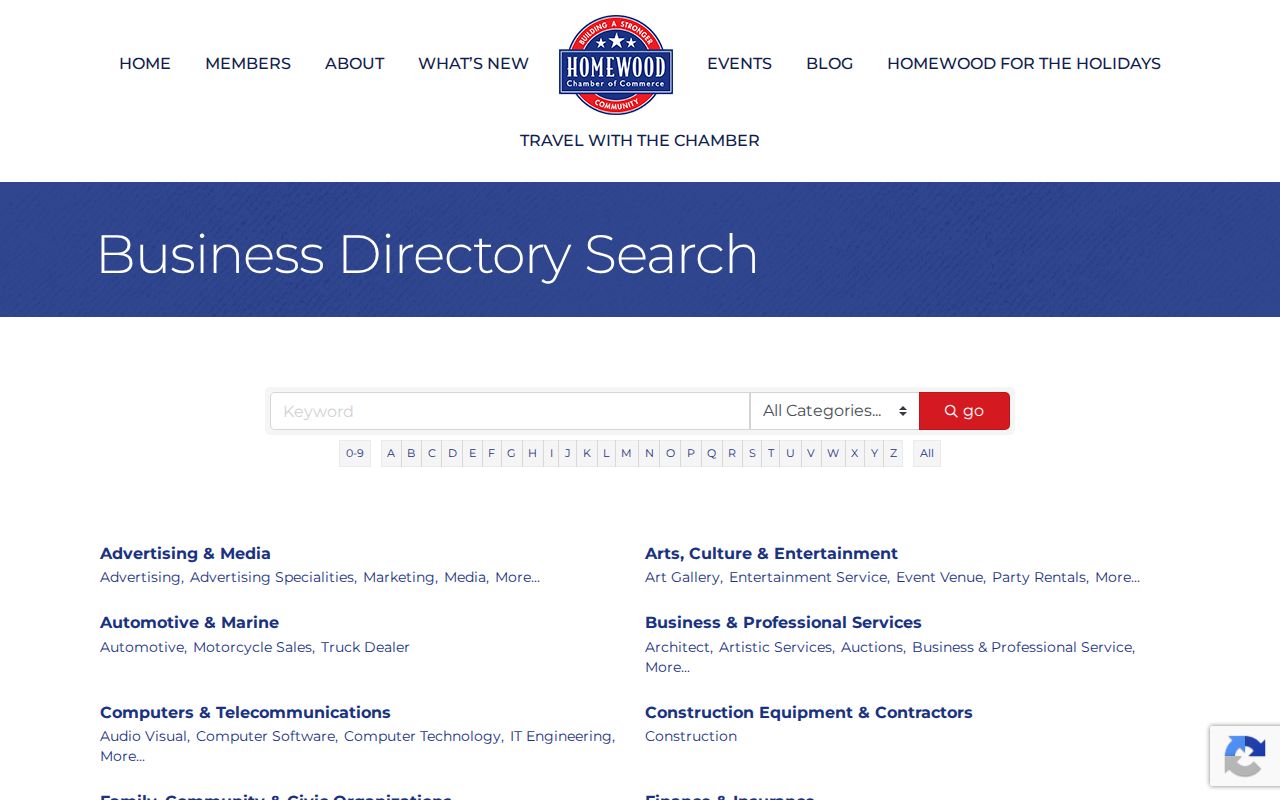
Listings may show an organization, address, phone, and sometimes a representative. Those are public affiliation contacts, not proof that the representative lives nearby.
Official Homewood Records Compared
Commercial neighbor tools often merge old addresses, assessed owners, phones, and other compiled data into one profile. That can blur the difference between an owner and an occupant. Official sources are narrower, but each has a named custodian, a defined field, and a correction path.
| Source type | Strength | Limit |
|---|---|---|
| County parcel and tax roll | Current administrative owner and land identity | Does not list the whole household |
| Authorized voter data | Dated registration and geographic fields | Not a complete population list |
| City permit or code file | Address-specific public event | Coverage is request-based and not a resident roll |
| Commercial compilation | May offer a quick lead | Can lag, merge names, and retain obsolete addresses |
Correct an official error with the office that owns the record: tax or GIS issues go to the Board of Equalization or Assessor, voter matters to election officials, and city files to Homewood. Removing a commercial profile does not alter the source record.
Homewood Neighbor Lookup Limits
Several parts of a block remain private or simply unrecorded. Utility and delivery accounts are not public resident directories. DMV address data is restricted. Alabama voter protections may shield certain judges, prosecutors, law-enforcement officers, legislators, and spouses. Court, vital, and police files have their own restrictions. No verified general statewide address-confidentiality program should be assumed beyond the documented voter protection.
A missing name has many possible causes. The person may rent, be too young to vote, be unregistered, use a different correspondence address, or be protected. It does not prove that the home is vacant. Likewise, an assessed owner may be a trust or entity and may live elsewhere.
Lawful use. Homewood neighbor records are for civic curiosity, reconnecting, and personal safety awareness. Never use them to watch, harass, threaten, or harm anyone.